Alberta Maps Home > Alberta Map Collection > Map Of Northwestern Alberta
Reference map of Northwestern Alberta
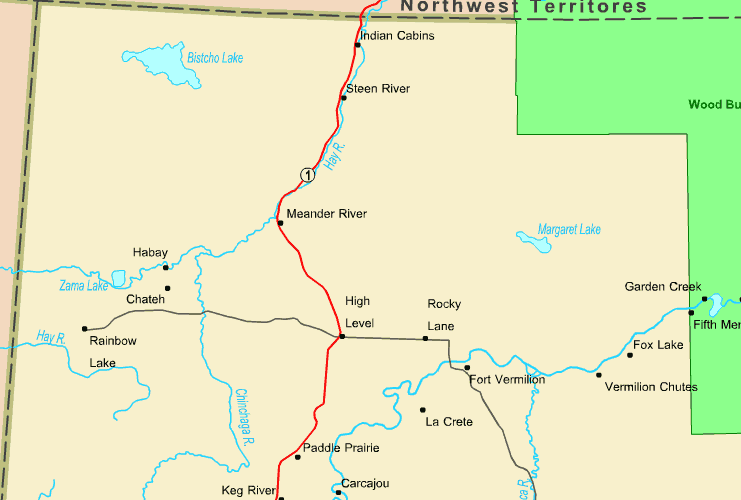
Above is a simple plot laying out the geography of this locale with a classic medley of map elements.
You have permission to view the map and make use of it for many purposes. Giving credit to this webpage would be helpful.
Supposing you call for support finding a map, a different kind of map, or call for a good made-to-your-specs preparation, you can contact YellowMaps.
Buy proper custom-made maps from us. Custom maps made by YellowMaps have a wholesome medley of map components, such as: main arteries, scale bar, GPS coordinates, air navigation features, islands, oceans, district municipalities, or rapids, etc. Map types go from scientific to wall, digital to hardcopy, world to urban growth areas.
Good maps are specific, well-defined, and not deceptive. Skillful map-making by YellowMaps.
To purchase physical maps, e.g. wall maps, educational maps, or maps for exploring, please dive into our map store It contains over 100,000 maps.
Contact us about international topographic maps too. We will try to get you any map that is currently in circulation.
Back to Alberta map collection